See what is actually happening.
Recent earthquake data and reported volcanic activity come from scientific feeds rather than social-media posts.
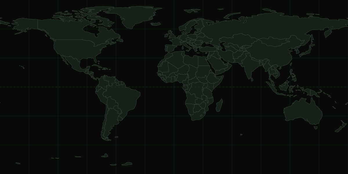
Recent earthquakes and reported volcanic activity plotted against a simple world map. Shipping chokepoints are optional fixed reference markers, not claims that an incident is happening there.
Earthquakes use USGS real-time feeds. Volcanic events use NASA EONET. The map itself is a local Natural Earth basemap, so no third-party map tracker is loaded in the visitor's browser.
FIELD NOTE // Natural hazards shown here are global observations, not UK-specific emergency instructions. During an incident, use the relevant local authority, emergency service or official warning service.
The map is deliberately narrow in scope. It shows measurable natural events and fixed transport geography. It does not assign geopolitical risk scores or label conflicts as “hotter” or “safer”.
Recent earthquake data and reported volcanic activity come from scientific feeds rather than social-media posts.
Every live event can lead back to the source record for detail and context.
A distant event may be interesting without changing a UK household plan. The useful preparation remains water, light, communications, warmth and basic power.